 Create an Account
 Login/myAPPA
 Bookstore
 Search
  Translate
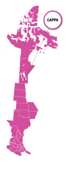
The Central region of APPA serves the states of Arkansas, Kansas, Missouri, Nebraska, North Dakota, Oklahoma, South Dakota, and Texas; the Canadian provinces of Manitoba and Nunavut; and the Mexican states of Aguascalientes, Coahuila, Colima, Guanajuato, Guerrero, Hidalgo, Jalisco, Mexico, Michoacan, Morelos, Nuevo Leon, Puebla, Queretaro, San Luis Potosi, Tamaulipas, Tlaxcala, Veracruz, and Zacatecas.